image data input and conversion to a GIS
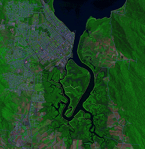
satellite imagery
satellite imagery
 image data
input and conversion to a GIS
image data
input and conversion to a GIS