
|
|
|||||
|
|
|||||
 |
|
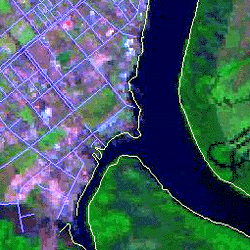
| The Cairns dataset for a project to determine the areas most likely affected by storm surge flooding included data from several sources, inluding: | |
| coastline | |
| rivers | |
| roads | |
| satellite imagery | |
|
|
GPS points of heights to verify the digital elevation models |
| building locations | |
| digital elevation models | |
| census data | |
|
|
|